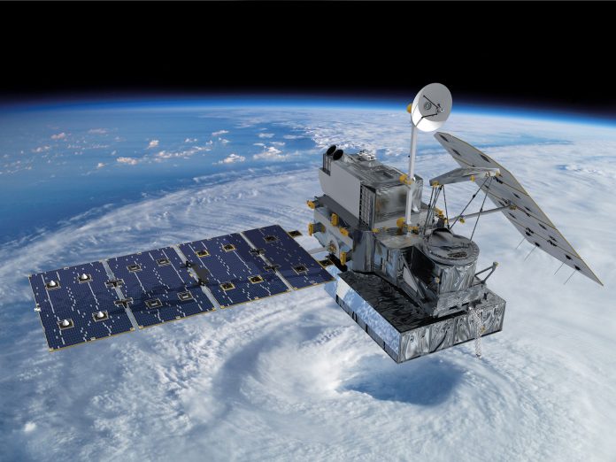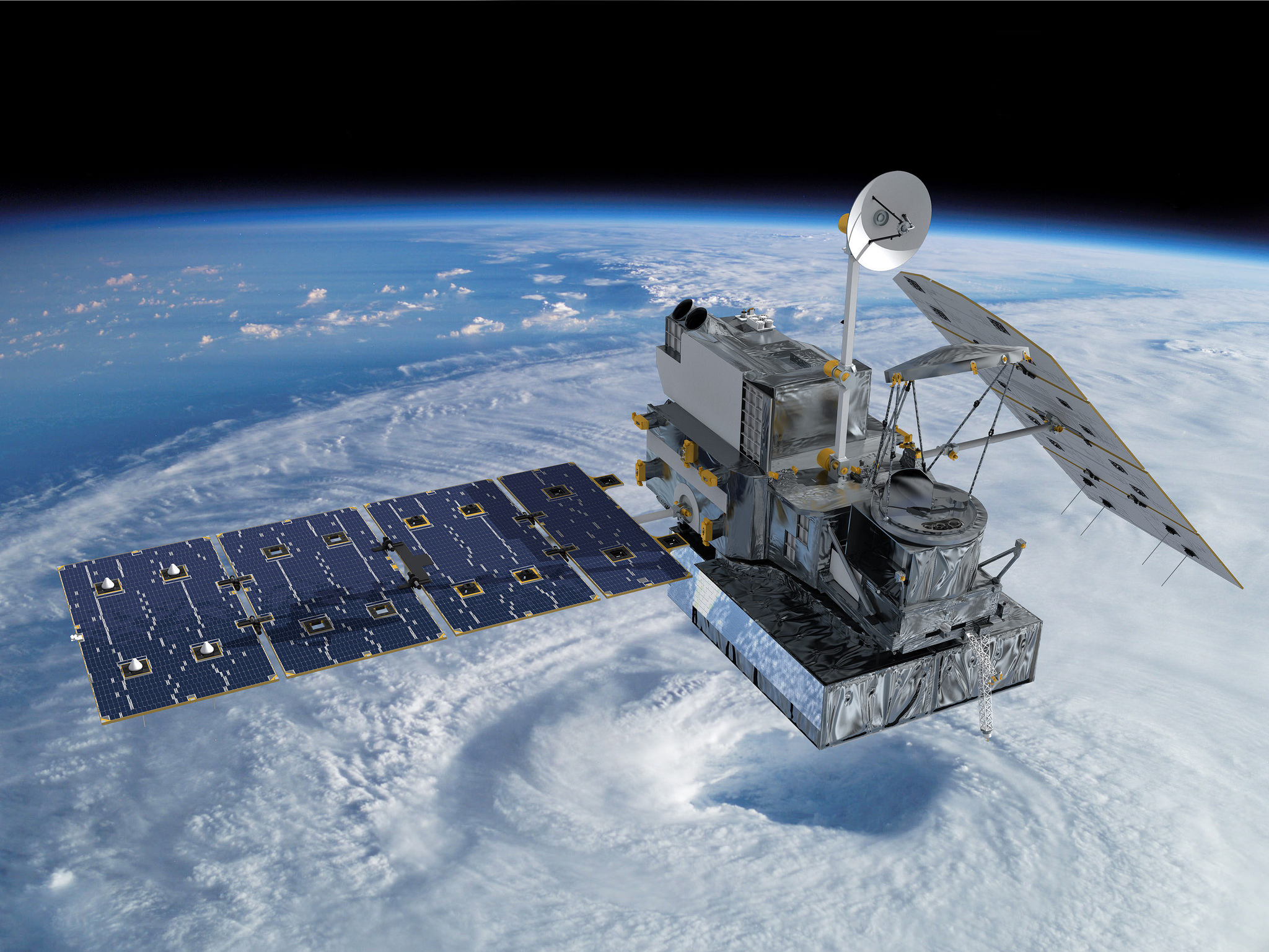
Satellites are emerging as powerful tools in the battle against wildfires, offering a view from space that could change the way we detect, monitor, and respond to these destructive events. As wildfires intensify globally, with California at the forefront, an alliance of tech titans, government agencies, and nonprofits is forging new paths to harness this technology for the greater good.
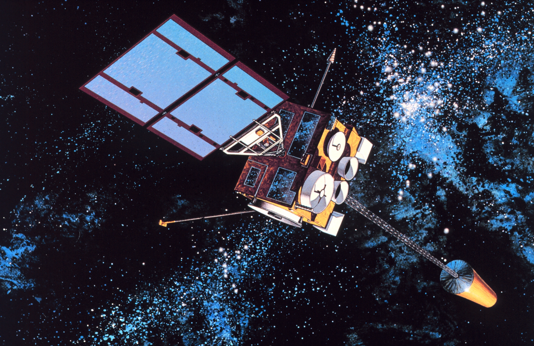
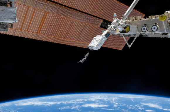
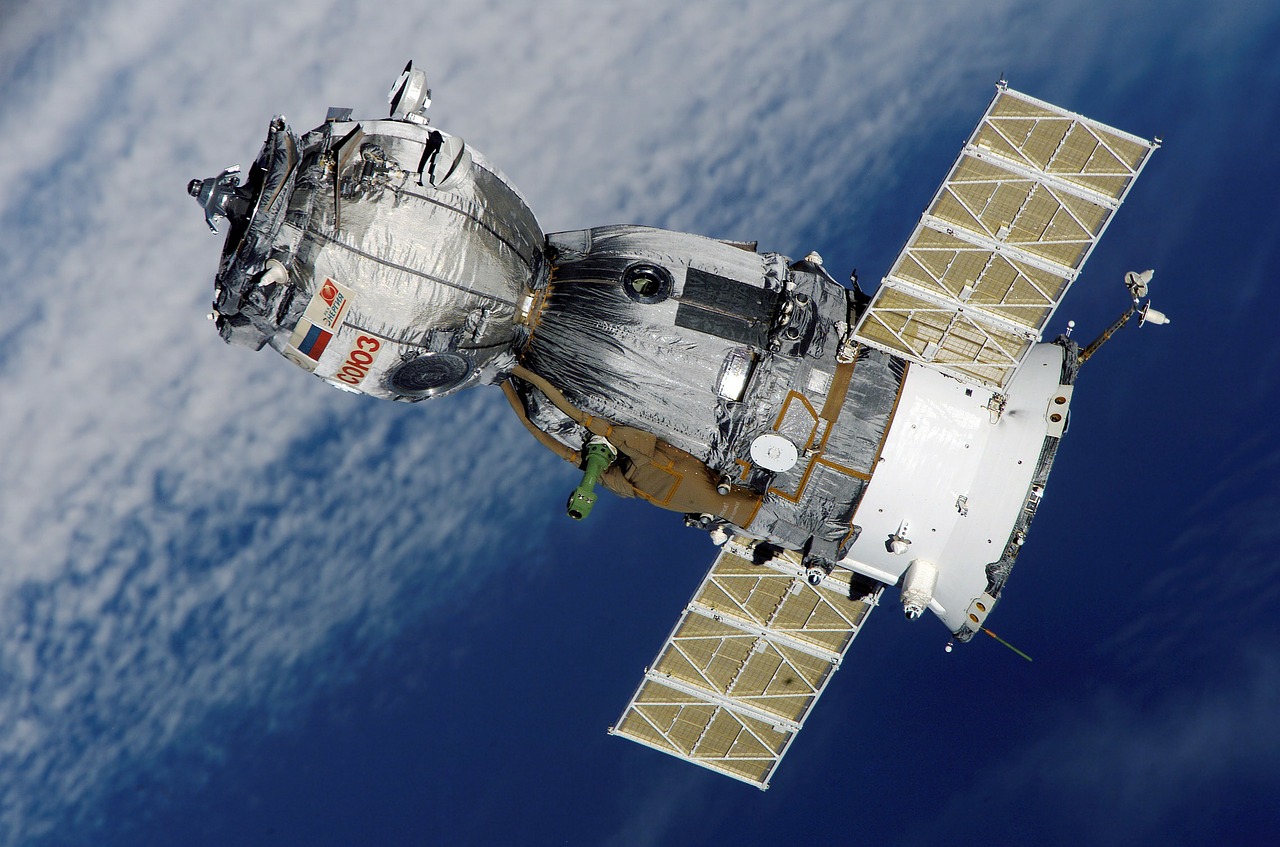
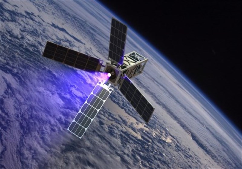
In a testament to human innovation in the face of crisis, the Earth Fire Alliance recently showcased their ambitious plan to deploy a constellation of over 50 satellites, called FireSat.
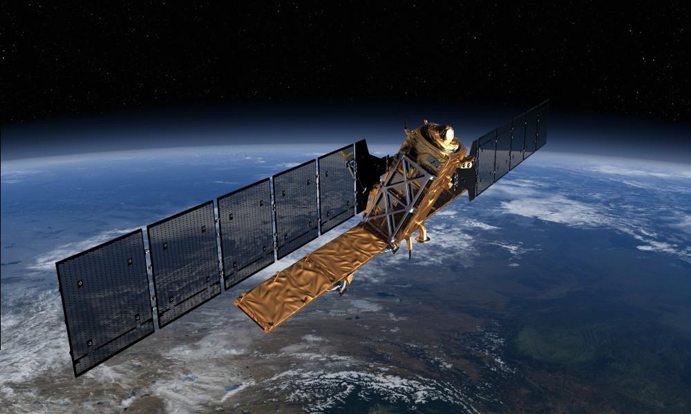
By 2026, the first three of these high-tech guardians are set to patrol the planet’s surface every 20 minutes, searching for signs of fire across multiple spectral bands, capable of piercing through clouds, smoke, and darkness.
Chris Anthony, an Earth Fire Alliance board member, aptly described the projected impact, stating, “It’s really a game-changer when it comes to resource allocation, because now we have this really high-fidelity picture that’s very, very granular of every single fire, which will ultimately help us better deploy resources in a much more efficient manner.”
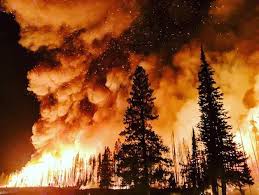
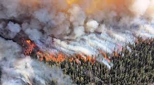
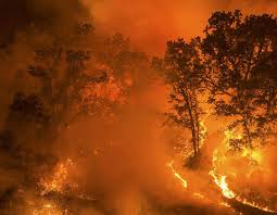
The battle against wildfires is not a local skirmish; it’s a global war. With California’s largest blazes occurring since 2000 and the United Nations forecasting a 30% increase in wildfires by mid-century, the urgency for solutions transcends borders.

Data from satellites like FireSat will provide critical insights, from fire location to its intensity and speed, aiding firefighting strategies and potentially saving both lives and property.
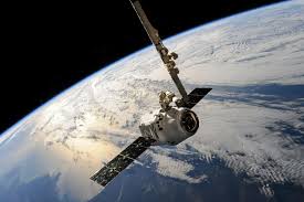
It’s not just the Earth Fire Alliance that’s looking to the stars for answers. NASA and the National Oceanic and Atmospheric Administration (NOAA) are set to launch GOES-U, part of a series of advanced weather satellites.
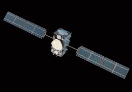
Carrying the promise of rapid data delivery, GOES-U, which will become GOES-19 once in orbit, will surveil the Western Hemisphere every 10 minutes.
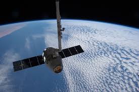
“NOAA’s geostationary satellites are an indispensable tool for protecting the United States and the 1 billion people who live and work in the Americas,” declared Pam Sullivan, director of NOAA’s Office of Geostationary Earth Orbit Observations.
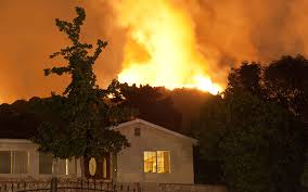
These space-borne firewatchers could represent a paradigm shift, as Dan Lindsey, a program scientist with NOAA, emphasized. Not only are they able to pinpoint fires as small as a barn, but the latest series promises even more precise fire detection capabilities.
The convergence of space innovation and firefighting is not without its terrestrial counterparts. In California, the collaboration between Cal Fire and UC San Diego’s ALERTCalifornia system has seen over 1,000 high-definition cameras equipped with AI capabilities scanning for early signs of wildfire.
Yet the journey into space comes at a cost, both financially and environmentally. Rocket emissions and the growing issue of space debris pose significant concerns, but efforts are underway to mitigate these risks through new regulations and design practices.
The Earth Fire Alliance’s economic analysis points to the potential of reducing direct fire damage costs by $1.2 billion annually across the U.S., Australia, and Southern Europe, highlighting the potential for these satellites to alleviate some of the colossal financial burden inflicted by wildfires.
Moving these projects forward requires substantial funding, with the Earth Fire Alliance aiming to secure $50 million to $60 million to launch the first trio of satellites. The full fleet, however, demands an investment of $300 million to $400 million.

But the cause has drawn influential backers like Google.org and the Environmental Defense Fund, among others.
Relevant articles:
– Can satellites combat wildfires? Inside the booming ‘space race’ to fight the flames, Phys.org
– Fire, noaa.gov
– Earth Science News, Earth Science, Climate Change, Phys.org
